
LiDAR Data Processing
Light detection and ranging (lidar) is a remote sensing technology used to acquire elevation data about the Earth's surface. A lidar system consisted of three main components: the laser ranging system, Global Positioning System (GPS) and Inertial Measurement Unit (IMU)
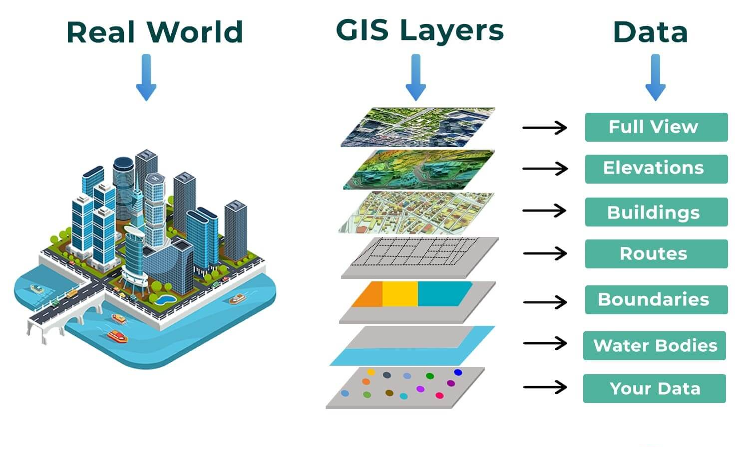
MAPPING & GIS SERVICES
Flairtek has an in-house Geographic Information System based on ArcGIS. We can undertake a wide variety of mapping, analysis, and visualisation of various projects. Mapping information is able to be live captured in the field.